
Salt Whistle Bay: Best of the Grenadines
A strip of sand a dozen paces wide holds the Caribbean on one side and the Atlantic on the other. What Salt Whistle Bay, Mayreau is actually like in 2026, what reopened, what didn’t, and when to arrive.
Last Updated: September 7, 2026
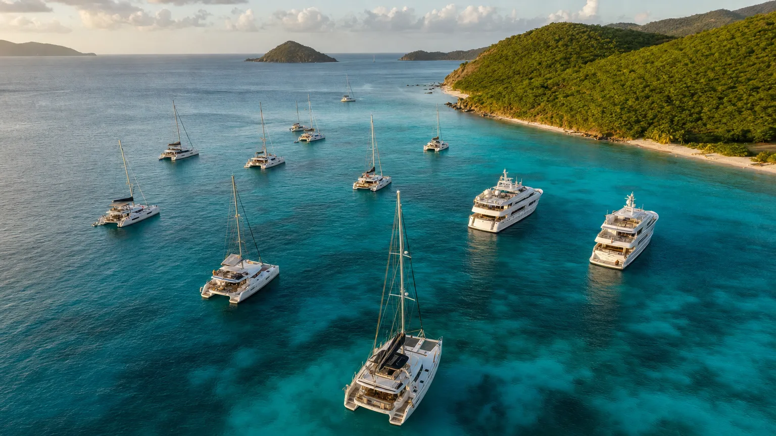
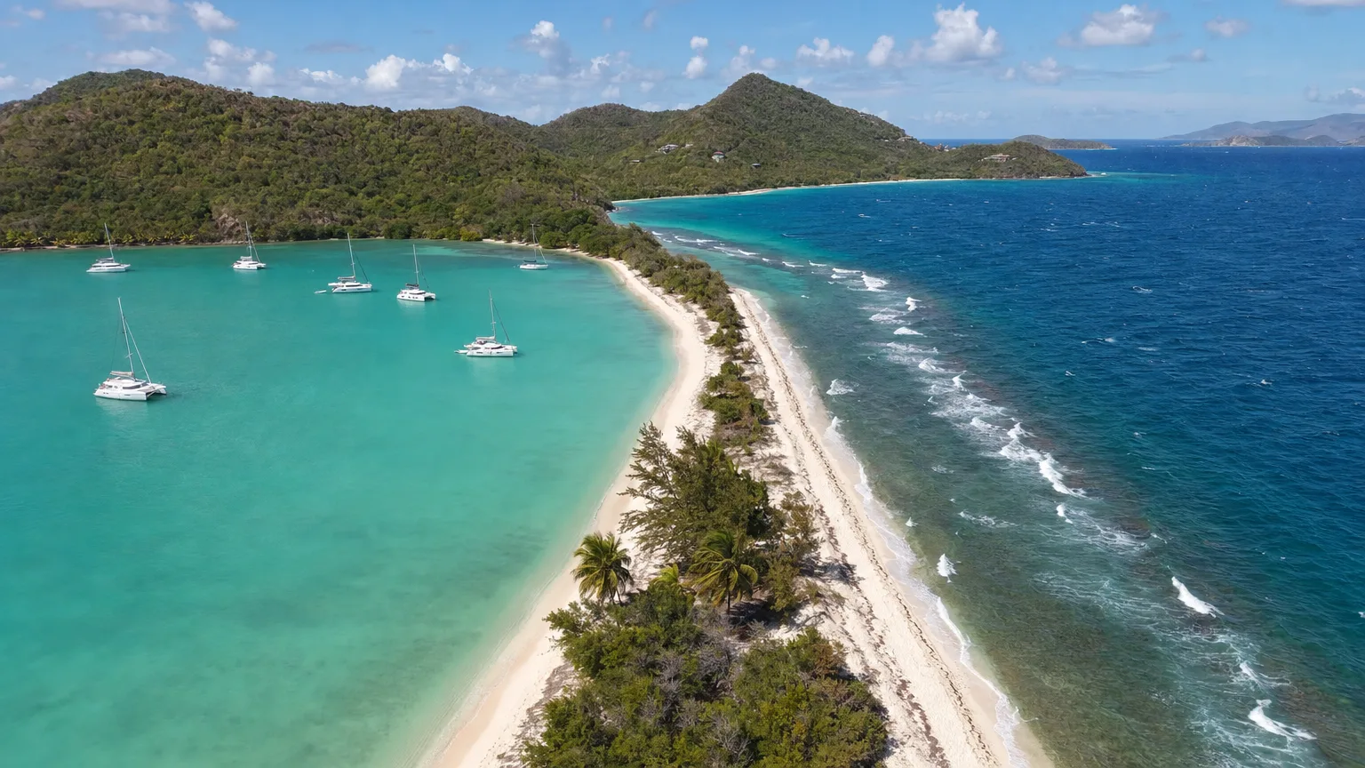
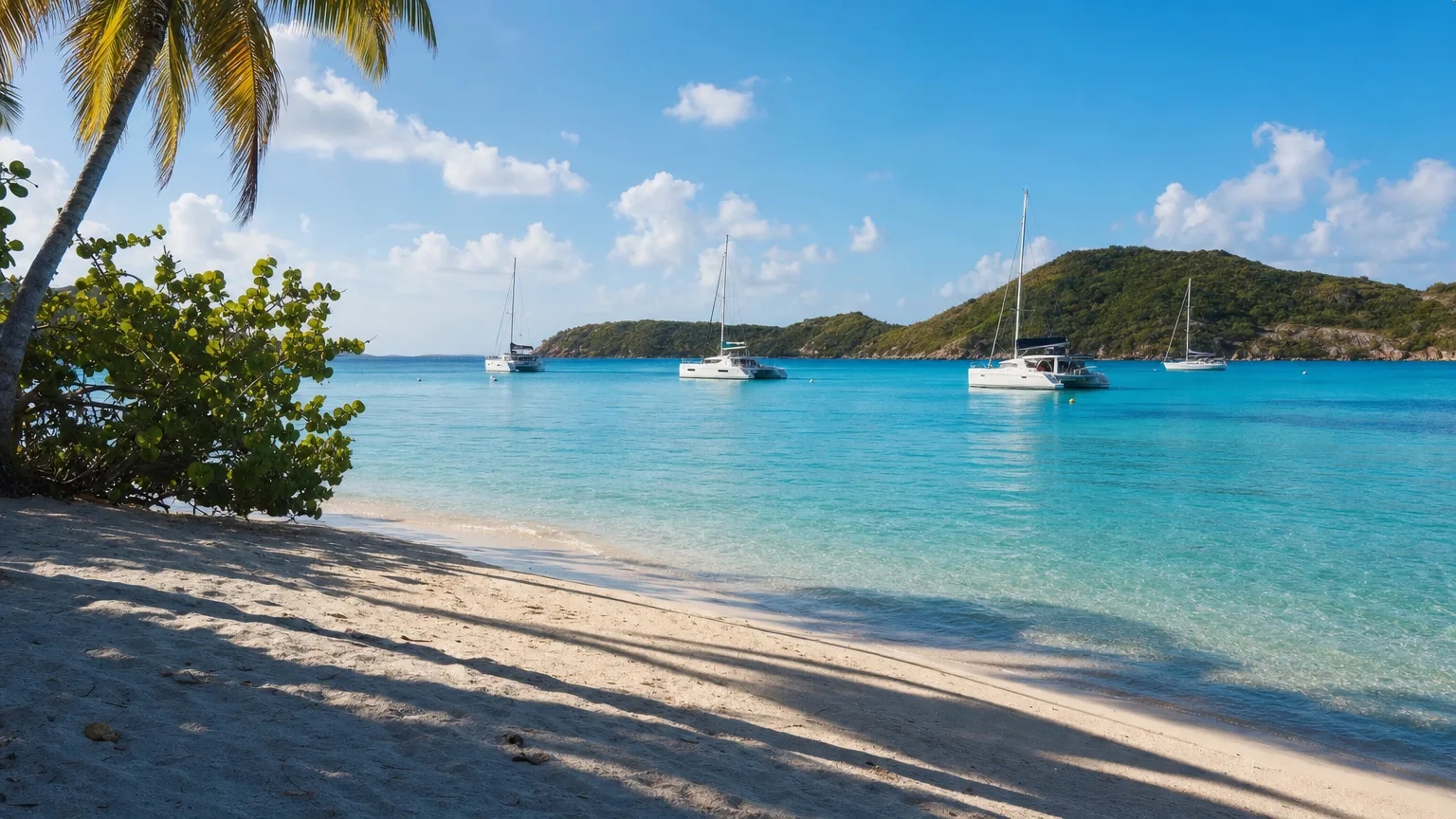
Salt Whistle Bay, Mayreau, is a beach with two seas. A strip of sand narrow enough to cross in a dozen paces holds the Caribbean on one side and the Atlantic on the other: calm water and a crescent of anchored yachts to the west, open ocean rolling in from the east, and a few steps of shade between them. It is the northern tip of the smallest island in the Grenadines with a village on it, and for a crewed yacht charter guest it is one of the shortest tender rides of the week. It’s also the stop most likely to be described to you out of date, because most of what’s published about this beach describes it as it was before July 2024.
What Is Salt Whistle Bay?
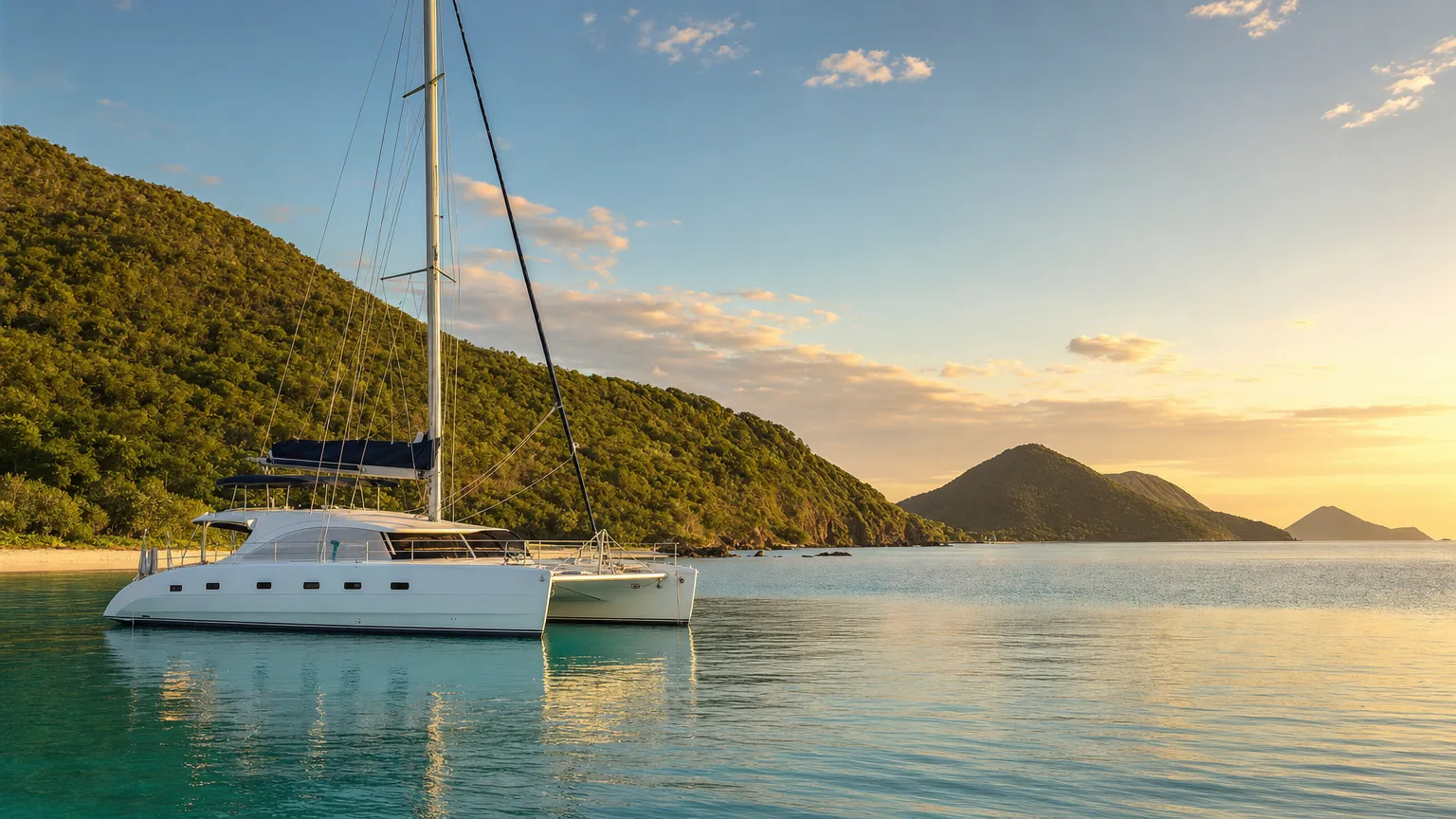
Salt Whistle Bay is a crescent-shaped, reef-sheltered anchorage occupying the entire northern tip of Mayreau in St. Vincent and the Grenadines. The bay itself faces west into the Caribbean, which is why it’s calm. Behind the beach, a low neck of sand and trees separates it from the island’s Atlantic-facing shore. Walk from one waterline to the other and you cross between two named bodies of water in under a minute.
That geography is the whole attraction, and it’s genuinely rare. Plenty of Caribbean beaches are pretty. Very few let you stand on one and watch flat turquoise on your left and open Atlantic swell on your right at the same time. SVG’s St Vincent Times describes it as “the stretch of land at Salt Whistle Bay that separates the beach’s Atlantic coastline from the Caribbean Sea” (St Vincent Times).
Salt Whistle Bay is a reef-sheltered crescent at the northern tip of Mayreau, St. Vincent and the Grenadines. A narrow sand isthmus separates the calm Caribbean side, where yachts anchor, from the island’s windward Atlantic shore. The bay is reachable only by sea, and yachts are a mainstay of the island’s economy (Doyle Guides; St Vincent Times).
It’s a fixture of nearly every route through the Grenadines charter destinations, usually slotted between the Tobago Cays and Union Island, at distances short enough that all three can appear in the same two or three days, as can the Mopion sandbar, further south again.
Where Is Salt Whistle Bay, and What Is Mayreau?
Mayreau sits at roughly 12°38′N, 61°23′W in the southern Grenadines, with Salt Whistle Bay at its northern end (Wikipedia). The Tobago Cays lie a little under three nautical miles east, Clifton on Union Island under four miles southwest, and Canouan to the northeast. The next anchorage is generally visible from the last one, which is much of the pleasure of sailing this chain.
Mayreau island is small in a way that’s hard to convey until you’re standing on it: 0.46 square miles, or 1.2 square kilometres (Wikipedia). It has one village on Station Hill, one single-lane concrete road running from the wharf at Saline Bay over the hill to Salt Whistle Bay, and a population somewhere between roughly 250 and 300. No current per-island census figure exists, so published numbers vary. There’s no airport and no bank, and mains electricity didn’t arrive until 2002, from a central generator at Saline Bay (Wikipedia; Ins & Outs of SVG).
One piece of history explains the island’s shape on the ground. The whole of Mayreau was once owned outright by the Eustace family of St. Vincent, and villagers only later gained access to land of their own, which is why an island this small has the layout it does (Doyle Guides). Saline Bay, incidentally, takes its name from the salt pond behind its beach, and that pond is the origin of the “salt” in both bays’ names.
The Sand Bar Between Two Seas
Residents measure the isthmus in footsteps. Interviewed about erosion at the bay, one gave its width as “between seven and twelve footsteps, depends on the size of the foot” (Searchlight). No survey figure in metres tells you more than that does.
What’s less known is that the community has been defending this strip for years. In May 2020, around thirty residents ran an operation they called “Save Our Salt Whistle,” packing the eroding gap with every conch shell they could gather and planning to bring more across from Union Island (Searchlight). It reframes the place. This isn’t a postcard that a storm happened to find. It’s a piece of ground people have actively been holding onto.
Is Salt Whistle Bay Open in 2026?
Yes, as of mid-2026. The isthmus has been repaired and the beach businesses are trading again. Doyle Guides, the reference cruising guide for these islands, states it plainly: “Beryl broke through the beach breakwater in Saltwhistle Bay, but it has since been repaired,” adding that beach vendors and restaurants are open, with more rebuilding (Doyle Guides). See our answer to: What is the cheapest time of year to visit the Virgin Islands? Explore.com, writing in April 2026, describes the bay as having recently recovered and still worth the time, with the same laid-back character it always had.
Mayreau island’s wider recovery is running on the same timeline. A new resort opened near the bay in April 2025, and the village at Saline Bay, the road over the hill and the beach bars at both ends of it are all in use, though rebuilding is still visibly underway in places.
Hurricane Beryl broke through the sand isthmus at Salt Whistle Bay, Mayreau, in July 2024. Doyle Guides reports the breach has since been repaired and that beach vendors and restaurants on the bay are open, with further rebuilding underway. Salt Whistle Bay Mayreau is reachable only by sea; the island has no airport (Doyle Guides).
The honest caveat is that Mayreau’s recovery is a work in progress rather than a finished job, and the published record lags well behind the ground. If your day is built around a specific beach bar, it’s worth having your broker or crew confirm it’s trading in the week you’ll be there, which is what we do rather than assume.
What’s at the Top of the Hill?
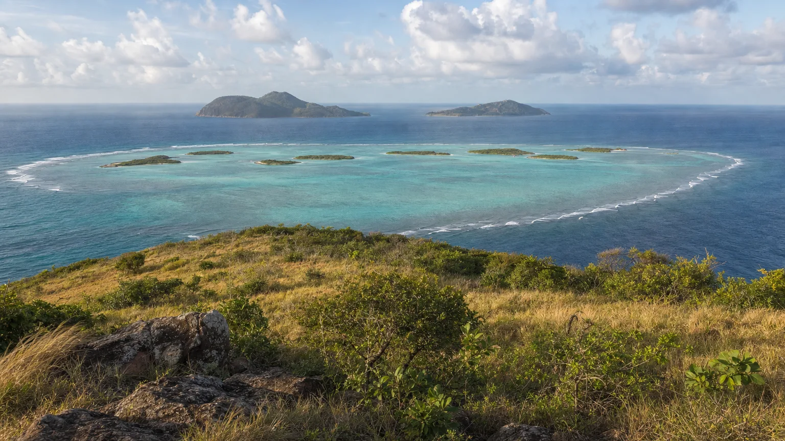
The view, and as of 2026 not the church that most guides still send you up there to see. The cut-stone Roman Catholic church that crowned the ridge did not survive Hurricane Beryl in July 2024, and we have found no report of it being rebuilt. The panorama itself is unchanged: from the ridge above the village you get the Tobago Cays laid out in their lagoon, with Canouan to the north and Union Island to the south, in a single sweep. Doyle Guides describes Mayreau as “rimmed with pristine beaches” and offering “spectacular views from the hill” (Doyle Guides). It’s a walk of 20 to 25 minutes up from the bay in our experience, on a road, and it remains the best land-based view in this part of the chain.
The building itself was the Church of the Immaculate Conception, christened on 12 May 1930 (Wikipedia). Doyle’s Mayreau page records that “a significant portion of the picturesque Roman Catholic church collapsed” (Doyle Guides).
This is worth stating clearly, because the published record hasn’t caught up. St. Vincent and the Grenadines’ own tourism site still sends visitors to see “the prettiest old, stone Catholic church you are ever likely to see,” and the major travel guides say much the same (Discover SVG). A guest who reads any of that and walks up expecting it will be confused. There is a second, newer church across the road, funded by a member of the Eustace family, which does still stand (Doyle Guides).
The cut-stone Roman Catholic church above Salt Whistle Bay, christened 12 May 1930, has not been rebuilt since July 2024, though most published guides still describe it as standing. A newer church across the road remains in use. The hilltop view over the Tobago Cays, Canouan and Union Island is unchanged (Doyle Guides; Discover SVG).
What Is There to Do at Salt Whistle Bay?
Swim, walk, and eat, in roughly that order, and the walking is the underrated part. Doyle Guides encourages visitors to “walk the island and explore windward beaches,” and the road over the hill makes that straightforward (Doyle Guides). A reasonable half-day is a long swim on the leeward side, the crossing to the Atlantic shore, the climb to the ridge, and a drink on the beach before the light goes.
Set expectations properly on snorkelling. The bay is pleasant, but it isn’t why anyone comes to this corner of the Grenadines. The serious reef is next door in the Tobago Cays, and comparing the two does the bay no favours. Treat the bay as a swimming and lounging anchorage, and save the mask for the Cays.
One practical thing worth knowing: there’s no bank or ATM on Mayreau, so the beach bars run on cash (Ins & Outs of SVG). On a crewed charter this is usually a non-issue, but it’s worth a word with your crew before you go ashore.
Where Do You Eat and Drink?
Doyle Guides counts beach vendors and restaurants among the businesses trading again, and they sit in a scatter of small, independent bars strung along the sand (Doyle Guides). Explore.com’s April 2026 piece singles out The Last Bar Before the Jungle and Nadi’s among the island’s best. These are simple places, serving rum punch, cold beer and grilled fish, not restaurants in the reservation sense.
Up in the village and around at Saline Bay there’s a second, separate cluster, including Dennis’ Hideaway and Robert Righteous and de Youths. Don’t picture those on the beach at Salt Whistle Bay. They’re a walk away, over the hill, and they’re a different evening.
When Should You Arrive?
Whenever it suits the day, and that is the quiet luxury of this chain. The Grenadines don’t concentrate charter traffic the way the British Virgin Islands do: with 32 islands and cays and only nine inhabited, the fleet spreads thin. You can anchor at Salt Whistle Bay on a Saturday in February and count the boats on one hand. There is no rush hour to beat here.
That holds even as the destination grows. St. Vincent and the Grenadines crossed 100,000 stay-over visitors for the first time in 2024, then set a record above 120,000 in 2025, and the tourism authority reported monthly increases of 10 to 12% through the first quarter of 2026 (iWitness News). The country also attracts roughly 36% of all yacht visitors to the Eastern Caribbean (iWitness News). Those are real numbers, and they are still nothing like the density the BVI packs into a handful of bays.
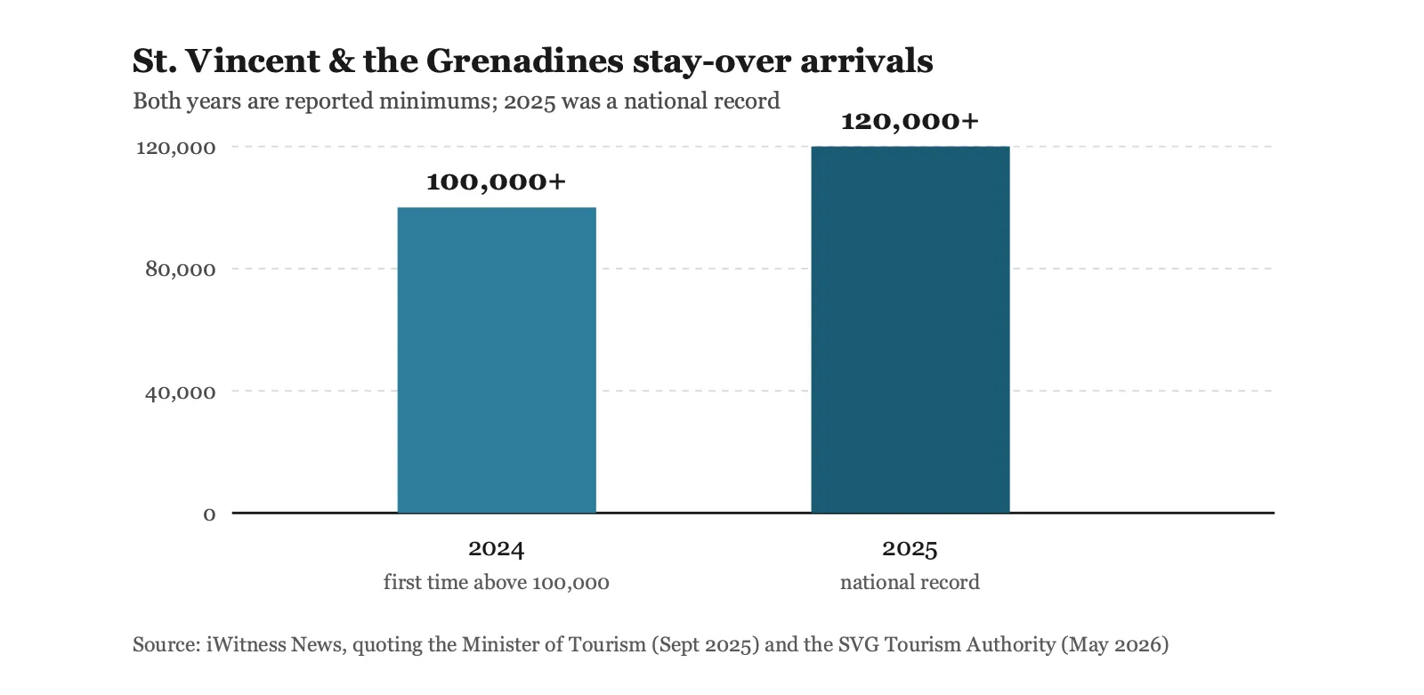
View data table
| Year | Stay-over arrivals | Note |
|---|---|---|
| 2024 | Over 100,000 | First year above 100,000; reported by the Minister of Tourism |
| 2025 | Over 120,000 | National record; reported by the SVG Tourism Authority |
| Q1 2026 | 10–12% monthly growth | Year-on-year increase for each month of the quarter |
What the hour does change is the light and the rhythm of the day. Morning is for the water, when the leeward side is at its flattest and clearest. Late afternoon is for the walk across to the Atlantic shore and a drink on the sand as the sun goes. On a crewed boat you get both in the same day without having to choose in advance, which is rather the point of arriving this way.
Season-wise, the Grenadines run best from December through April, when the trade winds are steadiest and the sailing is at its finest. May, June and late November give you much the same water in an emptier chain still, a trade-off we map across the region in our guide to the best time to charter.
Salt Whistle Bay sits between the Tobago Cays and Union Island on the standard Grenadines route, and the chain’s high season runs from December through April. Unlike the British Virgin Islands, charter traffic in the Grenadines spreads across 32 islands and cays rather than concentrating, so the anchorage stays uncrowded even in peak weeks.
Salt Whistle Bay or the Tobago Cays?
Both, and in that order. They’re half an hour apart and they do completely different jobs. The Cays are where you spend a day in the water; Mayreau is where you swim, walk on land and watch the sun go down. Trying to make either do the other’s work is the most common way to be mildly disappointed by both.
| Stop | Salt Whistle Bay (Mayreau) | Tobago Cays | Clifton (Union Island) |
|---|---|---|---|
| The draw | Two seas, one sand bar | Reef lagoon and turtles | Harbour town and Happy Island |
| Snorkelling | Pleasant, not the point | The best in the chain | Reef-protected flats |
| Ashore | Beach bars, village, hilltop view | Uninhabited, no village | Shops, bars, provisioning |
| Best used as | A swim stop and a sundowner | A full day in the water | Arriving, leaving, resupply |
| How busy | Uncrowded, even in season | Spread over five cays | Steady year-round |
The neat thing about this corner of the chain is how little distance separates the three, which is why they’re usually taken as a run of three days rather than squeezed into one.
Where Does Mayreau Fit in a Grenadines Week?
In the second half, almost always. The standard southbound Grenadines route goes St. Vincent, Bequia, Mustique, Canouan, Mayreau and the Tobago Cays, which puts Mayreau and the Cays together as the water-focused end of the trip, once everyone has found their sea legs.
Paired with its neighbours it makes a strong three-day finish: the Cays for the reef, Mayreau for the beach and the ridge, and Clifton for a last evening ashore, including Happy Island, the conch-shell bar in Clifton Harbour. Earlier in the week, Basil’s Bar on Mustique covers the social side. Our full seven-day Grenadines itinerary maps the whole run.
Mayreau also belongs to a category we write about often: places a cruise ship physically cannot reach. No airport, no cruise berth, one village. It’s on our list of hidden Caribbean anchorages reachable only by yacht for exactly that reason.
Can You Stay on Mayreau?
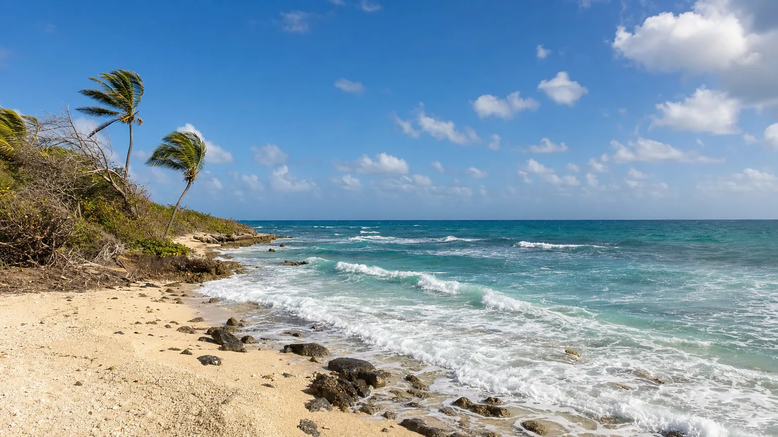
Since April 2025, yes, and that’s new. Windward Mayreau opened that month with 15 bungalows, its own stretch of beach and an open-air restaurant, a five-minute walk from Salt Whistle Bay, according to the resort’s own published information. That’s a notable vote of confidence on an island of roughly 250 to 300 people that had no mains electricity until 2002.
For charter guests that is context rather than accommodation. It means more going on ashore, and it’s a signal that Mayreau’s recovery has momentum behind it. The boat remains the better bed: you wake up on the water you came for, and you move on when you want to.
Other Stops in the Grenadines
Salt Whistle Bay works best as one stop in a run of them. Nearby and worth the detour:
- Happy Island, the bar on the reef in Clifton Harbour, Union Island.
- Basil’s Bar, the overwater bar on Mustique, in its fiftieth year in 2026.
- A seven-day Grenadines itinerary: how the whole chain strings together.
To build a week around this corner of the chain, start a yacht search at Vital Charters and we’ll put the Cays, Mayreau and Union Island in the right order for your dates.
Frequently Asked Questions
Where is Salt Whistle Bay, Mayreau?
Salt Whistle Bay occupies the northern tip of Mayreau island, in the southern Grenadines of St. Vincent and the Grenadines, at roughly 12°38′N, 61°23′W. The Tobago Cays lie a little under three nautical miles east, Union Island a short run southwest, and Canouan to the northeast. Mayreau has no airport: guests arrive by yacht, or by inter-island ferry to Saline Bay and over the hill by road.
Is Salt Whistle Bay open in 2026?
Yes. Doyle Guides reports that the breach Hurricane Beryl opened in the sand isthmus has been repaired, and that beach vendors and restaurants are open with further rebuilding underway. Explore.com, writing in April 2026, describes the bay as having recently recovered.
Why is the bay famous?
Because a strip of sand only a few paces wide separates the Caribbean Sea from the Atlantic Ocean. Yachts anchor in the calm crescent on the Caribbean side, and a short walk across the isthmus brings you to open Atlantic on the windward shore.
Is the stone church on Mayreau still standing?
No. The cut-stone Roman Catholic church above the village, christened on 12 May 1930, has not been rebuilt since July 2024, and most published guides still describe it as intact. A newer church across the road does still stand, and the hilltop view is unchanged.
How wide is the Salt Whistle Bay isthmus?
Residents interviewed by SVG’s Searchlight newspaper described it as “between seven and twelve footsteps, depends on the size of the foot.” It has narrowed and been repaired at various points, so no fixed measurement holds for long.
What is Mayreau known for?
Salt Whistle Bay, its position beside the Tobago Cays Marine Park, and its size. It is the smallest of the Grenadines with a permanent village community, home to roughly 250 to 300 people, with one road, no airport and no bank.
Is the snorkelling good here?
It’s fine, but it isn’t the reason to come. The Tobago Cays, a short hop east, hold the best reef snorkelling in this part of the Grenadines. Treat it as a swimming, walking and sundowner stop.
What is the best island in the Grenadines?
It depends what you want from the day. Mustique is the glamorous one, Bequia the most liveable, the Tobago Cays the best snorkelling, and Union Island the most useful for provisioning. Mayreau is the one guests tend to remember, because Salt Whistle Bay puts the Caribbean and the Atlantic within a minute’s walk of each other.
Is there a hotel on Mayreau?
Yes, as of 2025. Windward Mayreau opened in April 2025 with 15 bungalows, its own beach and a restaurant, a five-minute walk from Salt Whistle Bay. Most charter guests still sleep aboard and treat the island as somewhere to go ashore rather than stay.
When is the best time to visit?
December through April, when the trade winds are steadiest. Unlike the British Virgin Islands, the Grenadines don’t funnel charter traffic into a few bays, so Salt Whistle Bay stays uncrowded even in peak weeks. May, June and late November offer much the same conditions in an emptier chain still.
Do you need cash on Mayreau?
Yes. There’s no bank or ATM on the island, and the beach bars operate on cash. Your crew can advise on how much to bring ashore before you go.
Can you visit without a boat?
Only with difficulty. Mayreau has no airport, and access is by sea. Most visitors arrive on a yacht or via the inter-island ferry to Saline Bay, then travel over the hill by road. For most guests, arriving by charter yacht is by far the simplest route.
Two seas, a dozen paces apart
A strip of sand at the top of Mayreau holds the Caribbean on one side and the Atlantic on the other. Anchor here on a Saturday in February and you can still count the boats on one hand. We’ll build the Grenadines week that gets you there.