
St. John, US Virgin Islands: A Crewed Yacht Charter Guide (2026)
See St. John, Virgin Islands by crewed yacht: snorkeling, beaches and hikes in a park covering 60% of the island, the rules that shape your day, and when to go.
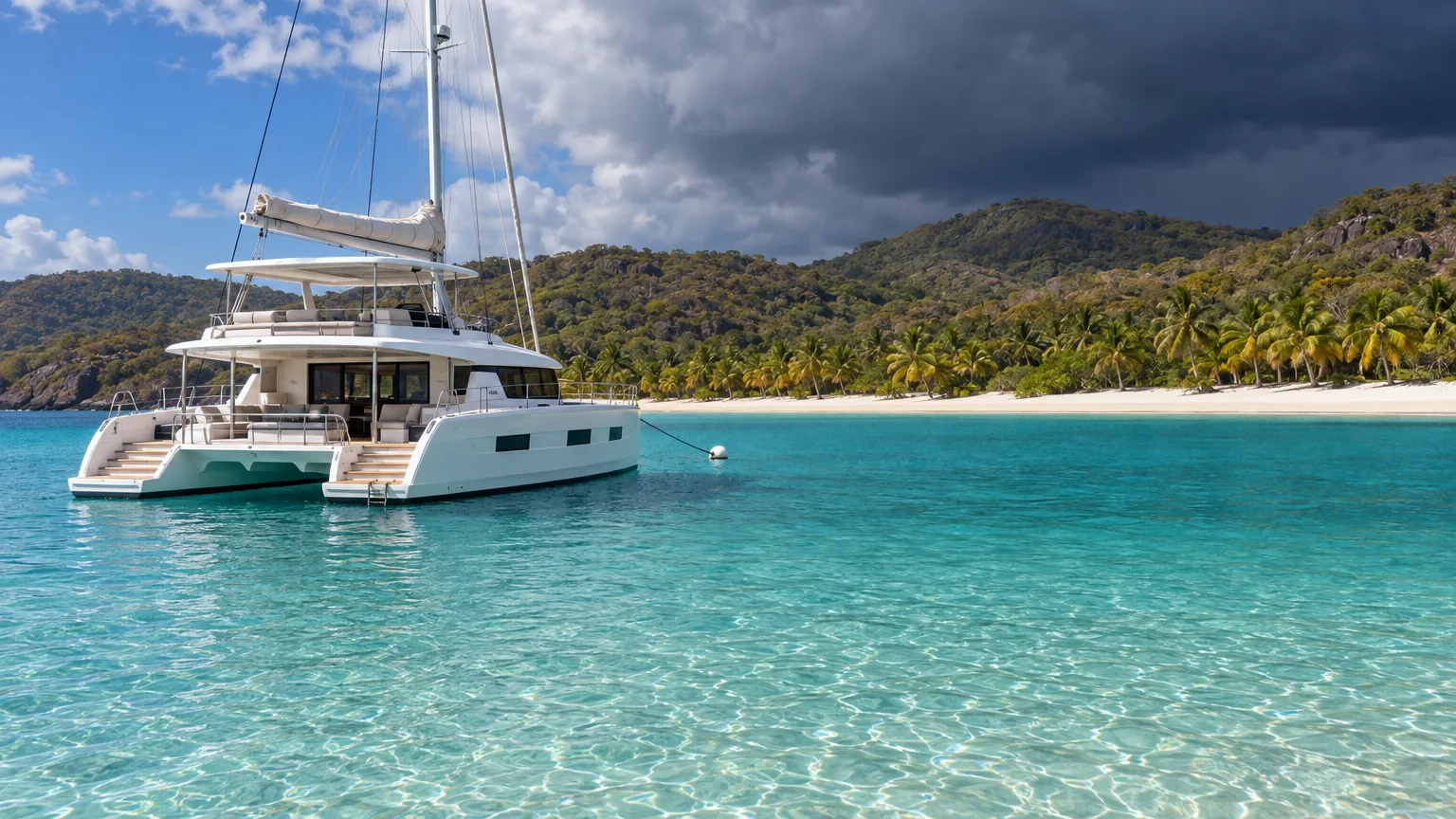
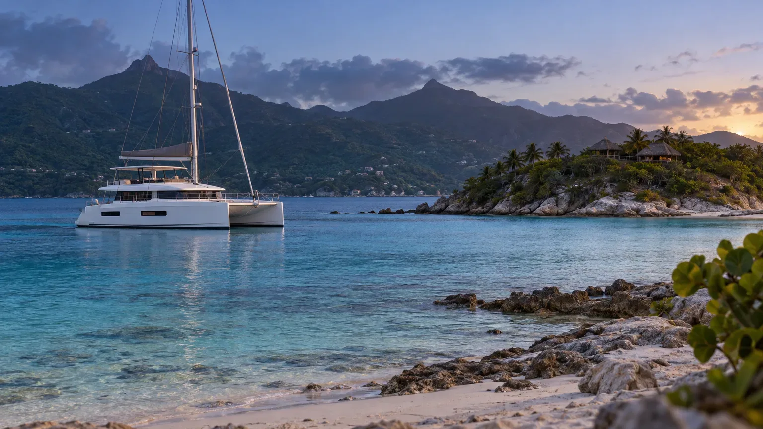
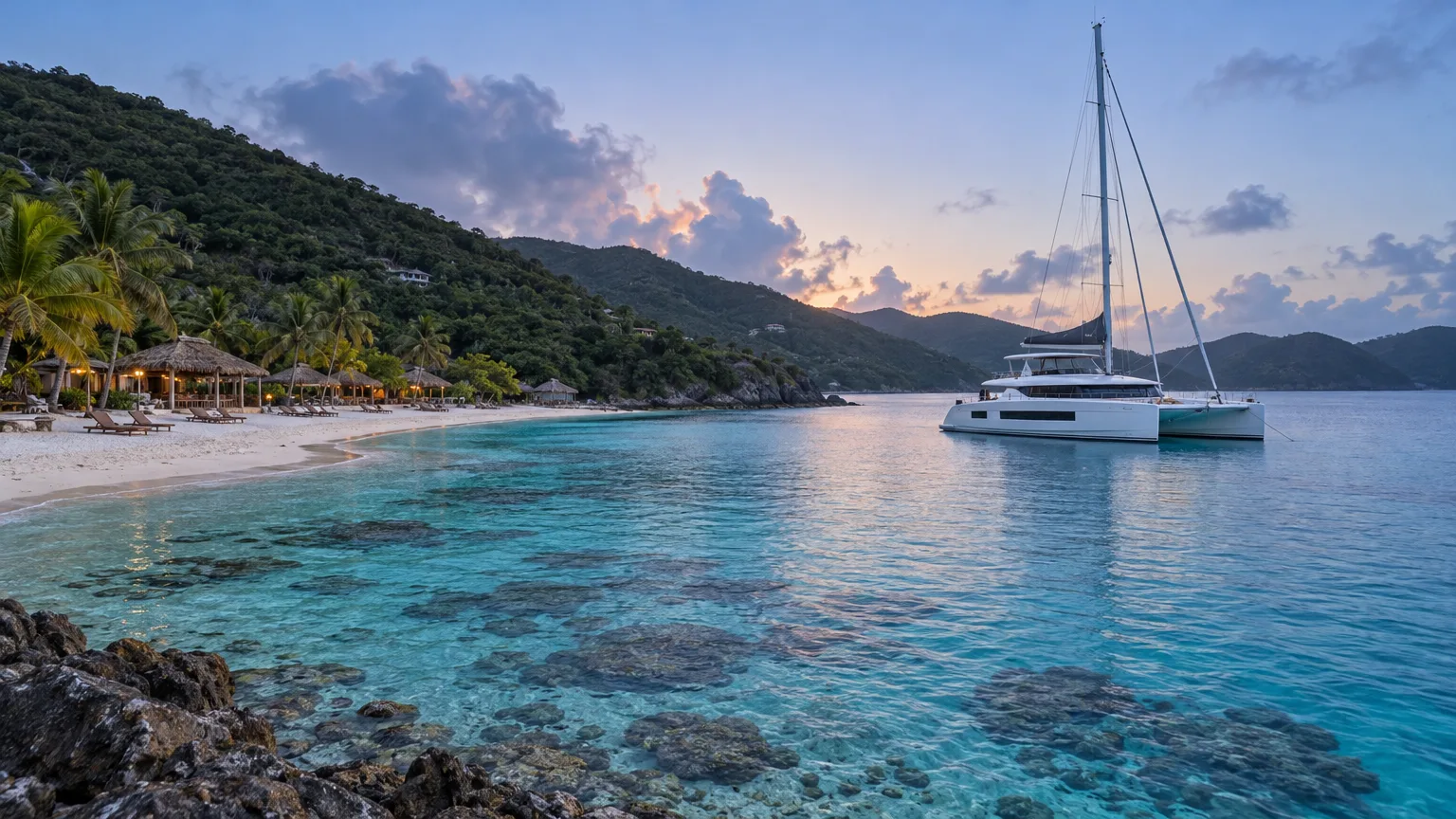
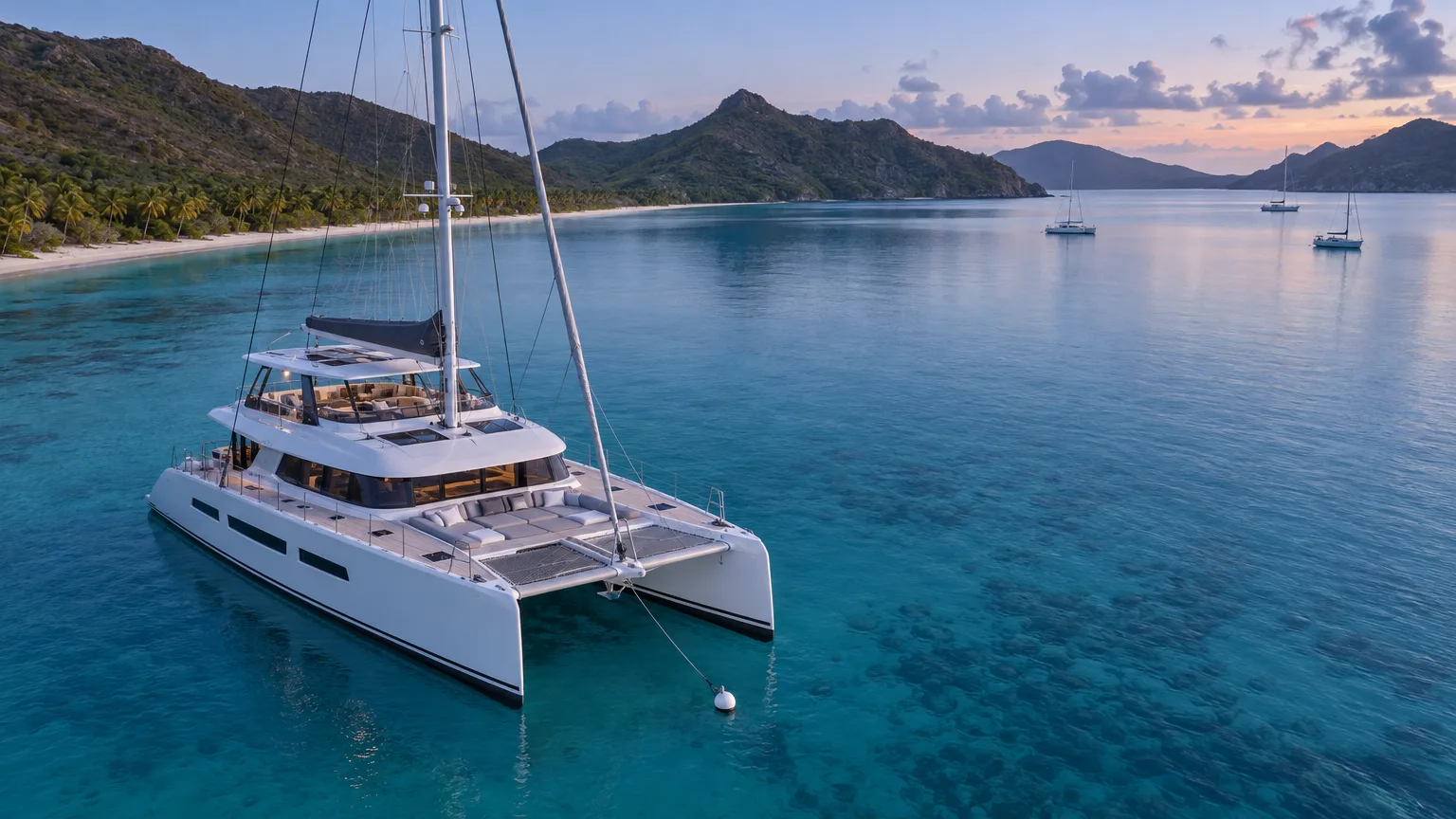
St. John, Virgin Islands, is the smallest of the territory’s three main islands (Wikipedia, 2026), and most of it is a national park (National Park Service, 2026). On a crewed yacht charter you see it bay by bay: the crew moves the boat along the park shoreline, and you swim, snorkel and hike from the tender.
If you’re still choosing between islands, our guide to the US Virgin Islands by yacht compares St. John with St. Thomas, Water Island and St. Croix. The US Virgin Islands destination page shows the crewed yachts that cruise them.
Where is St. John in the US Virgin Islands?
St. John sits east of St. Thomas across Pillsbury Sound, about four miles southwest of Tortola in the British Virgin Islands, and covers about 20 square miles (Wikipedia, 2026). The island had 3,881 residents at the 2020 census (US Census Bureau, 2021).
The island’s two towns sit at opposite ends. Cruz Bay, on the west end, is the largest settlement and the place the ferries from St. Thomas land. Coral Bay, in the southeast, was the island’s commercial center in the 19th century and is now a small community of outdoor restaurants and shops (Wikipedia, 2026). Between them it’s mostly park: steep green hills that drop to white-sand bays.
St. John is US territory, so a week that stays on this side of the border needs no customs stop. The British side is close, though: Jost Van Dyke, home of the Soggy Dollar Bar, is about five miles north (Wikipedia, 2026).
How much of St. John is national park?
About 60 percent of St. John’s land is Virgin Islands National Park, 7,259 acres, plus 5,650 acres of the sea around it (National Park Service, 2021). Congress created the park in 1956, mostly on land that Laurance Rockefeller and his Jackson Hole Preserve had bought (NPS, 2024).
In 2001, the Virgin Islands Coral Reef National Monument added more protected water around the island (NPS, 2016). Together they decide where your crew can stop the yacht, and larger crewed yachts can’t stop in park waters at all (NPS Superintendent’s Compendium, 2026). Wherever the yacht stops, you go ashore by tender. If park days are high on your list, tell us and we’ll match the yacht to them.
Some rules apply to guests directly. Sunscreens containing oxybenzone, octinoxate or octocrylene are banned across the whole territory, under a law in force since March 30, 2020 (St. Thomas Source, 2020), so pack a mineral sunscreen. Glass bottles aren’t allowed on park beaches (NPS Superintendent’s Compendium, 2026), so leave them aboard when you take a picnic ashore.
See which crewed yachts cruise St. John and the rest of the US Virgin Islands for a group your size.
Which St. John beaches can you reach from a yacht?
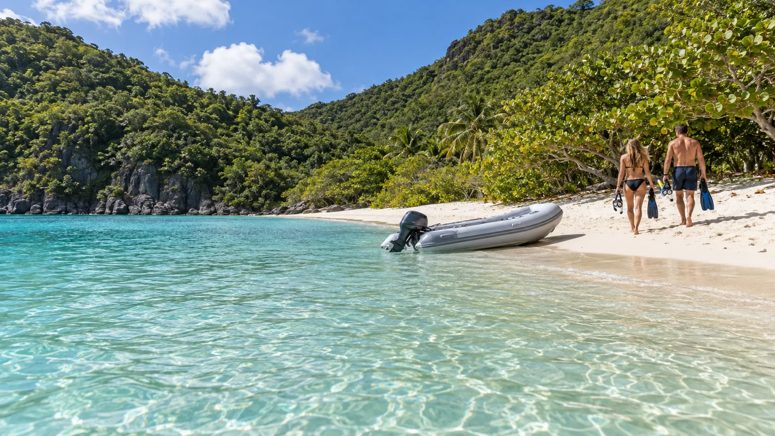
St. John’s best-known beaches line its north shore, from Honeymoon and Caneel near Cruz Bay to Trunk, Cinnamon and Maho farther east. From a yacht, the crew lands you on them by tender. Trunk Bay is the only one with an amenity fee (National Park Service, 2022), and the park’s rules apply it to guests arriving by water as well as by land (NPS Superintendent’s Compendium, 2026).
The north shore
The Park Service calls Honeymoon Beach “a perfect beach for families,” and it has a restaurant, a bar and ice cream (NPS, 2024). Caneel Beach, next door, reopened to the public in August 2024 while the rest of the old Caneel Bay resort stays closed (NPS, 2026). Boat guests heading to dinner at ZoZo’s at Caneel Bay land here.
The park says Trunk Bay “is considered one of the most beautiful beaches in the world” (NPS, 2022), and an underwater snorkel trail runs just offshore. Cinnamon Bay is the longest beach on St. John (NPS, 2022), and Maho Bay has the turtles.
The south shore and east end
The south shore is quieter. Salt Pond Bay has a long, gently sloping beach and the trailhead for Ram Head (NPS, 2021). To its west, Great and Little Lameshur bays sit at the end of a rocky road where the park recommends four-wheel drive (NPS, 2022). Coral Bay, in the southeast, has Hurricane Hole in its northern arm.
Where is the best snorkeling on St. John, USVI?
The best snorkeling on St. John is in the national park, and the Park Service lists Trunk Bay, Maho Bay, Waterlemon Cay and Salt Pond Bay among its popular snorkel spots (National Park Service, 2024). From a yacht you pick by conditions: the north shore on calm days, the south shore when a winter north swell rolls in.
| Snorkel spot | Shore | What you’ll see | Notes |
|---|---|---|---|
| Trunk Bay | North | An underwater trail with signs, reef fish | First-time snorkelers |
| Hawksnest Bay | North | Three fingers of elkhorn coral off the beach | Calm days only, the reef is shallow |
| Maho Bay | North | Seagrass beds and green sea turtles | Turtles, early or late in the day |
| Francis Bay | North | Juvenile fish, small coral heads, turtles | Beginners |
| Waterlemon Cay | North, toward the east end | Fish, corals and sea fans around a small cay | Confident swimmers |
| Brown Bay | East end | Seagrass, conch and staghorn coral | Reached by trail or boat, and the captain knows the access rules |
| Salt Pond Bay | South | Turtles and southern stingrays over seagrass | When the north shore is rough |
| Hurricane Hole | East end | Corals growing on mangrove roots | Inside the national monument, where the captain knows the rules |
Spot descriptions from the National Park Service’s St. John snorkeling guide and places pages, 2021 to 2024.
Trunk Bay Underwater Snorkel Trail
Trunk Bay has what the Park Service calls “a one-of-a-kind underwater snorkeling trail” (NPS, 2024). Its signs run along about 400 feet of water, and the swim takes 30 to 60 minutes (NPS, 2021). It’s an easy first look at a Caribbean reef. The park asks swimmers to be confident before they start, since standing on coral may damage it.
Waterlemon Cay and Leinster Bay
Waterlemon Cay is a small island in Leinster Bay, toward the east end of the north shore, ringed with fish, corals and sea fans. A strong current runs on its north side, toward Tortola, so the park advises staying on the south side (NPS, 2022). By road it’s a walk from the Annaberg parking lot; from a yacht in Leinster Bay it’s a short swim or tender ride.
Maho Bay and Francis Bay
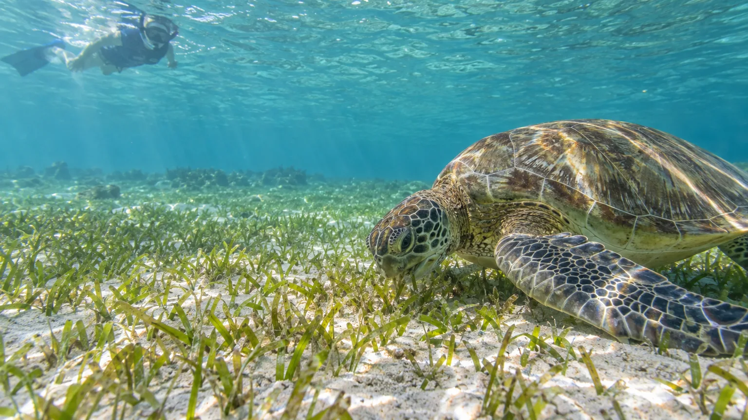
Maho Bay’s seagrass feeds green sea turtles, which the park says you’ll see more often early in the morning or late in the afternoon. Francis Bay, next door, is the park’s pick for beginners, with calm water, schools of juvenile fish and more turtles (NPS, 2022). Both cloud up when a north swell is running. Give the turtles room: the park’s rule is never to touch or chase them, and NOAA’s guidance is to stay at least 50 yards away (NOAA Fisheries, 2026).
Salt Pond Bay
Salt Pond Bay is the south shore’s easy snorkel, with green sea turtles and southern stingrays over the seagrass below its mooring field (NPS, 2022). It’s also where the Ram Head hike starts, so one morning can cover the snorkel and the hike.
Hurricane Hole
In Hurricane Hole, on the east end, more than 30 species of stony coral grow on or close to the roots of the red mangroves. The Park Service knows of no other Caribbean mangrove with as many (NPS, 2024). It lies inside the Coral Reef National Monument, which has its own rules for boats. Your captain will know whether and how your yacht can bring you in.
How healthy are St. John’s reefs?
St. John’s reefs have had a hard few years. Stony coral tissue loss disease, which the Park Service says is more lethal than any other known coral disease, “has now spread across most reef systems in St. Thomas, St. John, and St. Croix” (NPS, 2022). The territory’s natural resources department also recorded “an unprecedented mass bleaching event” in 2024 (DPNR, 2024). You’ll still see turtles, rays and plenty of fish. The best thing you can do for what’s left is the park’s own advice: stand only on sand.
Can you go scuba diving at St. John?
Yes. Scuba diving is allowed in Virgin Islands National Park, including off its beaches, except inside the Trunk Bay swim area, and divers must fly a dive flag and stay within 100 feet of it (NPS Superintendent’s Compendium, 2026). The scuba diving sites the tourism board lists for St. John sit off its north and east shores.
Visit USVI says Carval Rock, just east of Congo Cay, is named for a 17th-century fighting ship, and that its strong currents are calmest in the morning (Visit USVI, 2026). Grass Cay, off the island’s northwest side, is four separate sites between 15 and 70 feet deep, and the same page calls it popular with beginners. For experienced divers, the tourism board recommends Eagle Shoal, a remote site on the east end with a large open chamber called The Cathedral.
In February 1969, four Interior Department scientists moved into Tektite, an underwater habitat about 50 feet down in Great Lameshur Bay, and lived and worked there for about two months (St. John Historical Society, 2009). One of the Tektite II missions that followed in 1970 had an all-female crew (NASA, 1972).
Across the Caribbean, most crewed yachts have a local dive operator meet the boat at the site, and only a minority carry the gear and run dives themselves (Vital Charters listings analysis, September 2026). Our guide to scuba diving from a charter yacht explains how each works.
What are the best things to do on St. John?
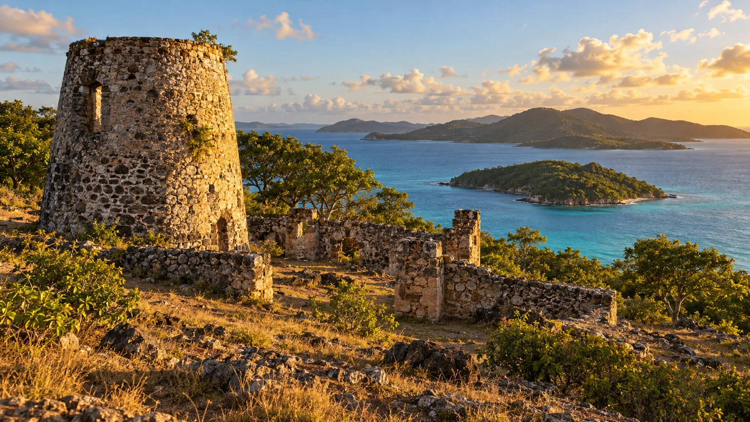
The best things to do on St. John away from the water are the park’s hikes and plantation ruins. Annaberg, on the hill above Leinster Bay, is “the park’s most accessible historic plantation site” (NPS, 2022), and the estate was once the largest sugar producer on the island (NPS, 2022).
Hikes and plantation ruins
At Annaberg you walk through the windmill, the sugar factory and the quarters of the enslaved people who worked the estate (NPS, 2022), and a wheelchair-accessible path runs through the ruins (NPS, 2026). From November to June, cultural demonstrations run there on Monday, Tuesday and Wednesday from 10 a.m. to 2 p.m. (Visit USVI, 2026). Cinnamon Bay has its own plantation ruins, reached on a wheelchair-accessible boardwalk (NPS, 2026).
Ram Head is the hike with the view. The trail leaves Salt Pond Bay and climbs a “steep, strenuous .9 mile (one-way)” to the headland (NPS, 2021), and the park calls it “perfect for a breathtaking sunset hike” (NPS, 2018). From Cruz Bay, the Lind Point Trail (NPS, 2017) runs 1.4 miles to Salomon Beach and 1.5 to Honeymoon (NPS, 2024), so you can walk out and have the tender collect you at the beach.
The Reef Bay Trail is a longer outing, about three miles one way from Centerline Road (NPS, 2023). At mile 1.6 a side trail leads to a waterfall and petroglyphs attributed to the Taíno, and the ruins of the Reef Bay Sugar Estate sit at the bottom (NPS, 2023). The park’s guided version ends with a boat ride back to Cruz Bay (NPS, 2025). If it’s running during your week, the crew can build the day around it.
Cruz Bay and Coral Bay
In Cruz Bay, the park visitor center is about two blocks from the ferry dock (NPS, 2024), and Mongoose Junction, a two-story courtyard of shops “fancifully constructed of stone and Caribbean coral,” is a short walk away (Visit USVI, 2026). Tender in for an afternoon of galleries, a drink on the waterfront and whatever the boat ran out of.
Coral Bay is slower. The Emmaus Moravian Church stands next to the Caroline Estate plantation, the site of the 1733 slave revolt (Wikipedia, 2026), and the harbor is home to Lime Out, the floating taco bar.
Where to eat and drink by tender
ZoZo’s serves a four-course dinner on a covered terrace at Caneel Bay, Monday through Friday, in a season that runs from December 7, 2026 to May 28, 2027. It takes reservations up to 30 days ahead (ZoZo’s, 2026).
Lime Out, off Coral Bay, opened for the 2026-27 season on October 11. It closes on Saturdays until December 19, then opens daily through April (Lime Out, 2026). You can only reach it by boat. The menu and the lily-pad seats are in our Lime Out guide.
Lovango Resort + Beach Club, on its own cay between St. Thomas and St. John, opens each year from mid-December to mid-July, with day moorings, and overnight moorings for guests staying for dinner (Lovango, 2026). For day passes and the pool, see our Lovango Resort + Beach Club guide.
How do you get to St. John for a crewed charter?
A crewed charter to St. John usually starts on St. Thomas or in the British Virgin Islands. None of the crewed yacht listings we analyzed names St. John, Cruz Bay or Coral Bay as its home or winter base (Vital Charters listings analysis, November 2026). The usual gateway is Cyril E. King Airport on St. Thomas, two miles west of Charlotte Amalie (VI Port Authority, 2026). From St. Thomas’s east end the crossing is short: the public ferry from Red Hook to Cruz Bay takes 15 to 20 minutes (VI Port Authority, 2026; Visit USVI, 2026).
If your yacht is based in the BVI, you’ll clear US customs on the way in, so bring passports for any week that crosses the border. Our page on passport rules for a Caribbean charter explains who needs what. For travel before or after the charter, our guide to USVI to BVI ferries, water taxis and flights covers getting between the two territories.
When is the best time to visit St. John, Virgin Islands?
The best time to visit St. John is December to April, outside hurricane season and including the two driest months. At East End on St. John, NOAA’s 1991-2020 averages put February and March under two inches of rain each, against about six inches in November (NOAA NCEI, 2021).
The Atlantic hurricane season runs from June 1 to November 30 and peaks around September 10 (National Hurricane Center, 2026). Winter has its own catch: stronger trade winds and, now and then, north swells that break on the north-shore beaches (NPS, 2022). Those are the days to spend on the south shore. Our month-by-month guide to the best time to charter in the Caribbean compares the weather across the islands.
St. John Celebration marks the end of slavery on July 3, 1848 and Independence Day (Visit USVI, 2026), and it ends with a parade through Cruz Bay and fireworks over the harbor on July 4 (Visit USVI, 2026). The Coral Bay Thanksgiving Regatta races in Coral Harbor, at Coral Bay, on the Saturday after Thanksgiving: November 28 in 2026 (Visit USVI, 2026).
How does St. John fit into a charter week?
St. John can fill a crewed charter week on its own or start one that crosses into the BVI. Of the 268 crewed yachts that list the US Virgin Islands as a cruising area, 262 also list the British Virgin Islands (Vital Charters listings analysis, October 2026). So nearly every yacht you’d book for St. John lists the BVI too, and a crossing week can add Jost Van Dyke, Norman Island or Virgin Gorda.
A week in US waters circles St. John, St. Thomas and Water Island with no border to cross. A week that crosses adds the BVI’s anchorages and a customs stop each way. The median high-season week on those USVI-listed yachts costs $33,000 across the 204 that publish a rate, including the expense allowance on yachts that charge one separately (Vital Charters rate analysis, October 2026). Taxes, port fees and crew gratuity come on top. Most of them are all-inclusive, which our guide to all-inclusive yacht charters in the Virgin Islands explains.
If you only have a day, private day boats leave from Cruz Bay and Red Hook, and our section on St. John boat charters compares them. For a full week, tell us your dates and group size and we’ll suggest the yachts and the bays that fit, or browse crewed yachts at Vital Charters and see which are free for your week.
Frequently Asked Questions
Do you need a passport to visit St. John?
Not if you’re a US citizen arriving from the US mainland or Puerto Rico, because the US Virgin Islands are US territory (Visit USVI, 2026). Travelers of other nationalities need whatever a visit to the United States requires.
Is Caneel Bay resort open?
No. The Caneel Bay resort on St. John hasn’t offered overnight stays since Hurricanes Irma and Maria in 2017, and in 2026 the National Park Service asked for proposals to rebuild and run it (NPS, 2026). Proposals were due on August 10, 2026, after an extension (NPS, 2026), and in October 2026 two environmental groups sued to block the plan (St. Thomas Source, 2026).
How warm is the water at St. John?
St. John’s water runs between about 80°F in February and 86°F in September, by NOAA’s averages for Lameshur Bay on the island’s south shore (NOAA NCEI, 2026). The sea is warmest in the hurricane months.
Can you take shells home from St. John?
Not from Virgin Islands National Park. The park’s rules don’t allow taking unoccupied seashells (NPS Superintendent’s Compendium, 2026), and fishing and collecting of any kind are banned in the Coral Reef National Monument (NPS, 2023).
Can you fly a drone on St. John?
Not in Virgin Islands National Park. Launching, landing or operating a drone from park land or water is prohibited without the superintendent’s written approval (NPS Superintendent’s Compendium, 2026), which rules out most of the island’s beaches and bays.
Which side of the road do they drive on in St. John?
The left. “We drive on the left here in the Virgin Islands,” the Park Service reminds visitors (NPS, 2021). The US Virgin Islands are the only place under US jurisdiction that does, though most cars are left-hand-drive American imports. Without a car, you’ll ride an open-air “safari” taxi; nearly all taxis on the islands are shared and charge flat fares (Wikipedia, 2026).
See St. John bay by bay, from the water
Tell us your group size and dates, and we will match you with a crewed yacht and a route through St. John’s national park bays.